Path of Desperation

Story
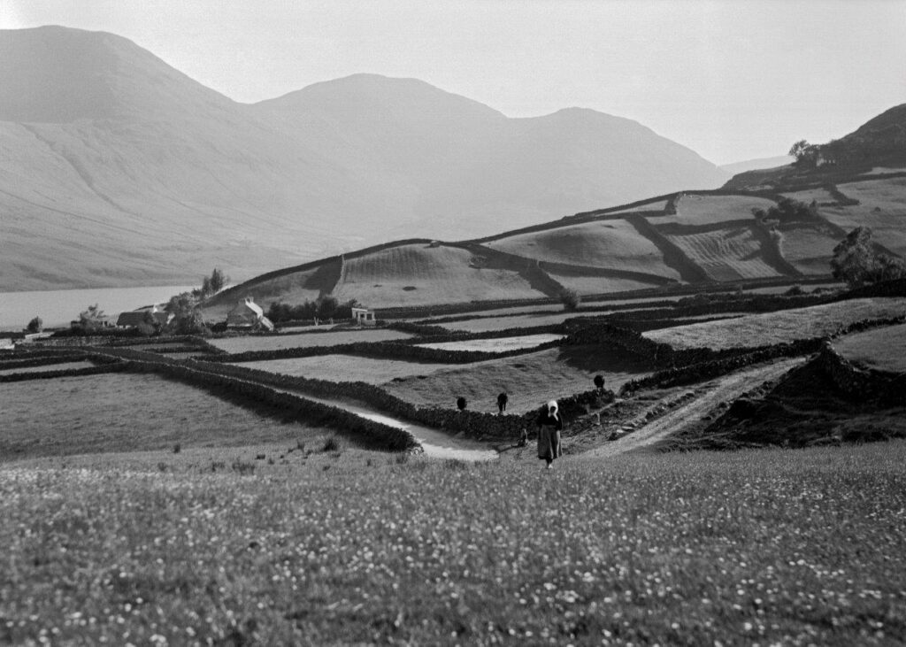
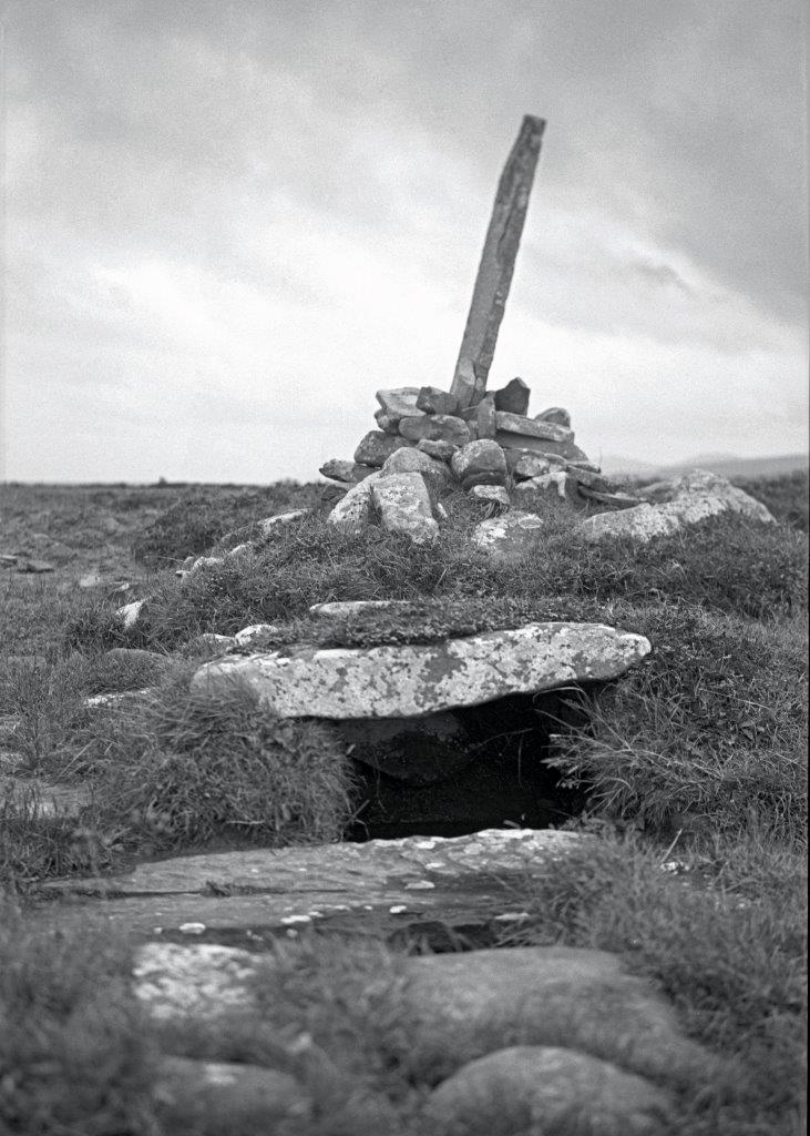
This haunting image with its ominous, brooding clouds evokes the tragic local tale of the Famine Walk from Louisburgh to Delphi Lodge where the unsympathetic Famine relief officer was visiting. On a cold winter morning in March 1849, hundreds of impoverished, starving, Irish tenant farmers and their families struggled along this desolate road beside Doolough Lake. They arrived in time for their appointed 7.a.m. meeting with the relief official to seek confirmation that they could remain on the outdoor relief roll. The tenants were refused aid. Desperate farmers attempted the tortuous 16-mile journey home. Some of the starving people died en route. The Native American Choctaw tribe had heard of Ireland’s Great Hunger. Just 16 years after the start of the brutal Trail of Tears, members of the Choctaw tribe sacrificed to send financial aid to the Irish people. There is still a deep allegiance between the Irish and Native American peoples. The Irish are honored that members of the Choctaw Nation join in the annual Doolough Famine Walk to commemorate both peoples’ ancestors and reaffirm the Nations’ abiding bond.
Location
Doolough, Co. Mayo
Date
1938
Purchase
BUY NOW   or    CUSTOM ORDER

Freshly Cut Bog

Story
This image depicts several stages of the cutting of turf from a bog face where the spade or slean marks can be seen. The slimy, limp, heavy sods are thrown on the ground above to begin to dry. When firm enough, they are built. In the distance, two farmers are seen “footing” the turf. Ultimately, the turf is stacked into long reeks. These are later transferred to the farmer’s home by donkey or horse and cart.
Location
Co. Mayo
Date
1938
Purchase
BUY NOW   or    CUSTOM ORDER

Focused, Ernie O’Malley at a Wedge Tomb

Story
When Helen and Ernie O’Malley moved to Louisburgh, Co. Mayo in the summer of 1938, they continued to take photographs of their surroundings. Both were particularly interested in archaeological and religious sites. Helen captured this rare image of Ernie as he concentrates on taking a photograph of a wedge tomb near their new home.
Location
Co. Mayo
Date
1938
Purchase
BUY NOW  or  CUSTOM ORDER

Turf Embankment

Story
This image clearly shows the herringbone pattern remaining on the face of the turf bank after four layers of turf have been cut by the spade or slean. Once a sod is cut, it is placed on the ground to dry. After a few days when the turf is firm, four or five sods are stood on end in small triangles to allow the wind and air to freely flow through to continue the drying process. Several more stages ensue before the sods are carried out to a large turf reek on the side of a bog path. Later the dry turf is transported home.
Location
Co. Mayo
Date
1938
Purchase
BUY NOW   or    CUSTOM ORDER

Turf Reeks and Mountain Range

Story
Rural Ireland, particularly Mayo, is populated with numerous bogs from which the local farmers cut turf sods in the summer to heat their homes during winter months and to cook their food year-round. There are many stages in the ”harvesting” process from preparing the surface of the bog for cutting to carrying the turf home. In the final stages, the farmers stack the turf in long high reeks ready for transport. The sods on the top are arranged to protect the turf below from rain.
Location
Co. Mayo
Date
1938
Order
BUY NOW   or   CUSTOM ORDER

Monuments of Time

Story
This standing stone, cairn and sacred site may no longer exist. No one has yet been able to identify it. However, the standing stone is atop a cairn that rests above another hallowed site, possibly a holy well. Standing stones are frequently of astro-archaeological significance. They may indicate burial sites, mark ceremonial grounds or even serve as navigational aids.
Location
Co. Mayo
Date
1938
Order
BUY NOW   or   CUSTOM ORDER

Standing Stone with Thistle

Story
This Neolithic standing stone thrusts toward the sky. Such monuments are amongst the many historic, archaeological and sacred sites Helen and Ernie O’Malley documented while traveling throughout Ireland in the late 1930s. Helen lay on the ground to take this shot looking toward the peak of the ancient menhir as a circular trough had been worn around its base by generations of cattle rubbing against it to scratch their hides.
Location
Killala, Co. Mayo
Date
1938
Order
BUY NOW   or   CUSTOM ORDER

Haycocks and Minaun Cliffs

Story
The Minaun Cliffs, with a 1500-foot elevation, tower over the beaches by the village of Keel on Achill. This image is taken from the base of Slievemore Mountain looking south to Minaun. Clare Island rests beyond. The haycock in the forefront of this photograph is secured with hay ropes and anchored with stones. It illustrates the next-to-last step in the haying process that usually occurs in June or early July. In the 1930s, hay was still cut with a scythe and left on the ground to dry. After a few days, the farmers turned the hay with a pitchfork and later raked it into small stacks called haycocks. They then combined the rounded stacks into a larger haycock that was sometimes covered in cloth to protect it from the weather. Later in the summer, the farmers used pulleys and ropes to shift the enormous haycocks onto a wheeled wooden platform or “haycock shifter.” A horse would pull the haycock shifter to the farmyard.
Location
Achill Island, Co. Mayo
Date
1938
Order
BUY NOW   or   CUSTOM ORDER

Concrete Stile

Story
Helen Hooker O’Malley documented many aspects of Irish rural life. In this case, she photographed a stile through which people can wander from one field to the next without opening a gate or allowing livestock to escape. The concrete structure is one of many variants designed over the years and shows the juxtaposition of modern materials and traditional landscape. This is a theme Helen returns to time and again: history and the modern world.
Location
Co. Mayo
Date
1938
Order
BUY NOW   or   CUSTOM ORDER